Imagery
Satellite views of the fire area, and photographs taken on the ground. Every satellite image links to the source at full resolution.
Nothing on this page is an illustration or a generated image. The satellite frames come straight from NOAA and NASA; the photographs were taken in the burn area by this site's team. The one graphic at the end is labelled as a graphic.
From orbit

GOES-18 GeoColor — Pacific Northwest
True-colour daytime view, infrared at night. Smoke plumes are visible as grey-brown streaks. Refreshes about every 10 minutes.

GOES-18 Fire Temperature — Pacific Northwest
A band combination tuned to heat rather than light, so actively burning fire fronts show through smoke.

GOES-18 Sandwich — Pacific Northwest
Visible detail blended with infrared cloud-top temperature, useful for spotting pyrocumulus over a fire.
NASA VIIRS true colour — fire area
Higher-resolution daily overpass, framed on Spokane and Stevens Counties.
NASA VIIRS thermal anomalies — fire area
375-metre heat detections in red, over the same day's satellite imagery. Each mark is a pixel the satellite measured as anomalously hot.
From the ground
Photographed in the burn area on 7 August 2026 by this site's team. Addresses are not given for houses that burned.
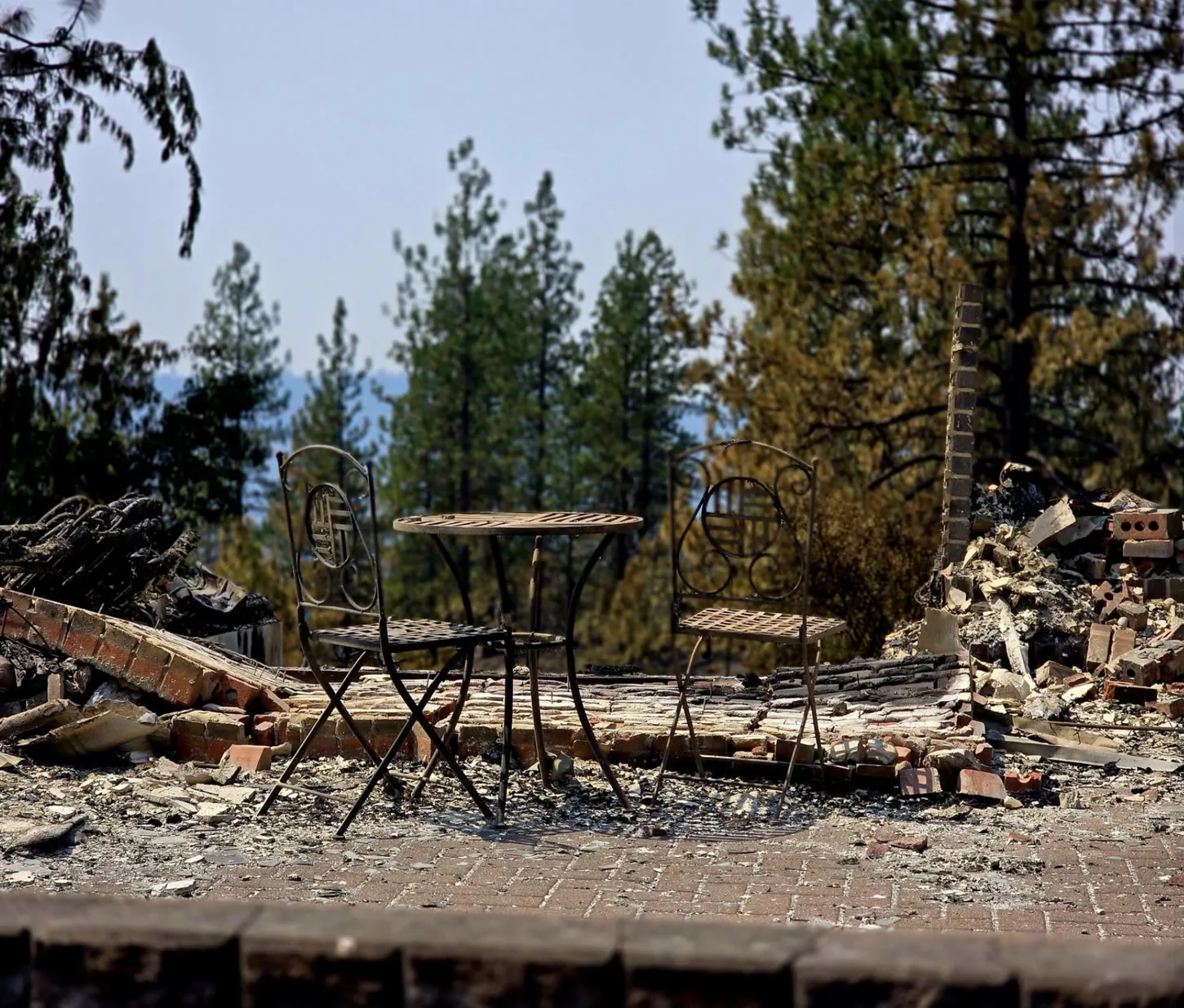
Patio table, house gone
A wrought-iron bistro set standing on an undamaged brick patio. The house it belonged to is the rubble on either side.
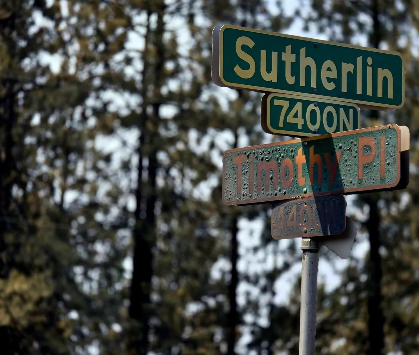
Sutherlin Street and Timothy Place
Street signs still up at the 7400 north block. The pines behind them are burned to the crown.
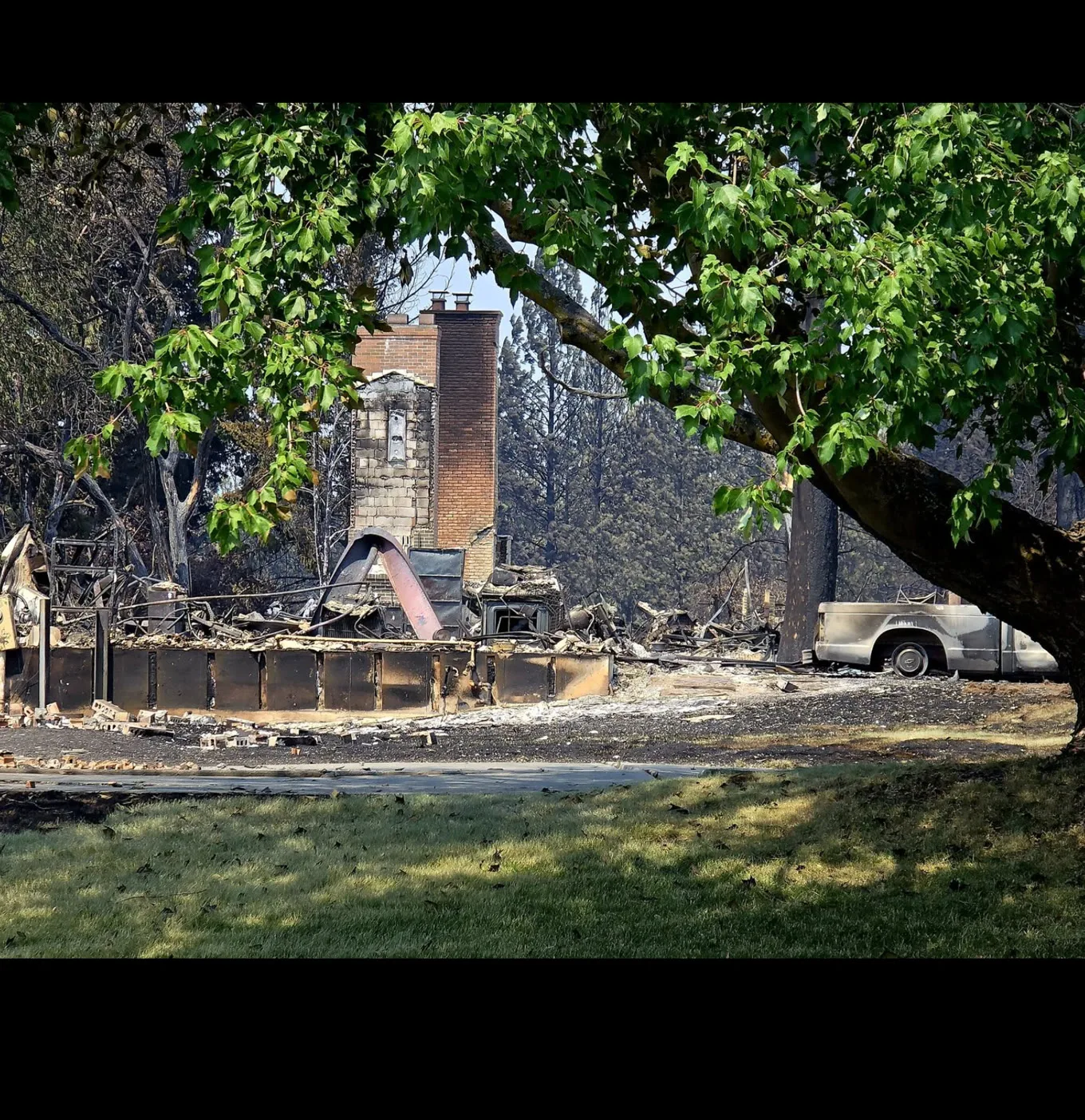
Chimney under a green maple
The maple in the front yard is still in leaf. Behind it, the chimney and a burned pickup are what is left.
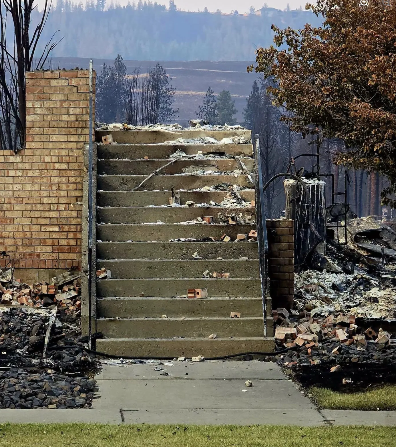
Steps to nothing
Concrete front steps and a brick pier. The house they led into is the ash and brick on both sides.
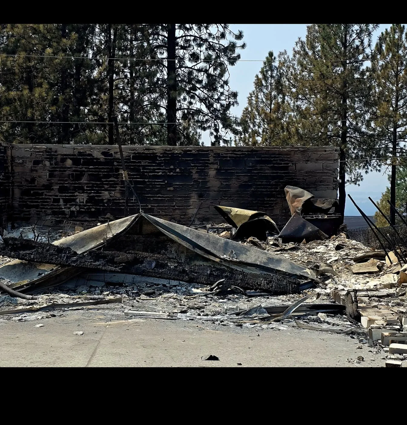
Brick wall, roof on the floor
The masonry wall held. Everything it enclosed came down onto the slab.
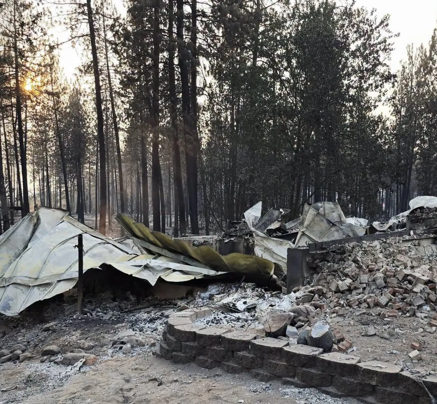
Roof down on the slab
Sheet roofing folded onto the foundation, the brick chimney collapsed into a pile beside it.
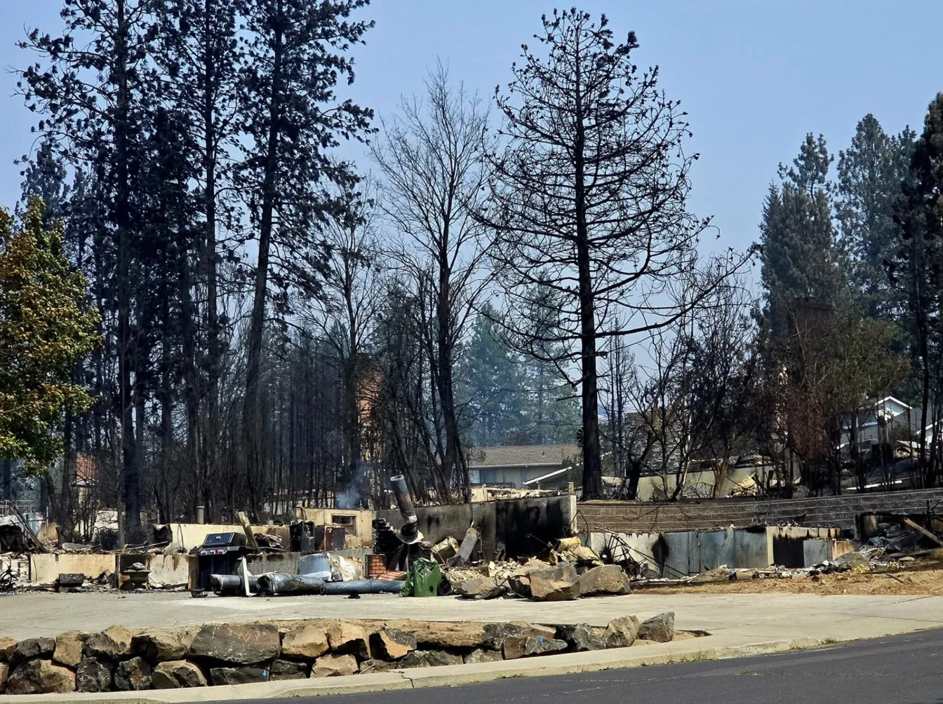
One street, two outcomes
Foundations on the near side of the road, houses standing on the far side.
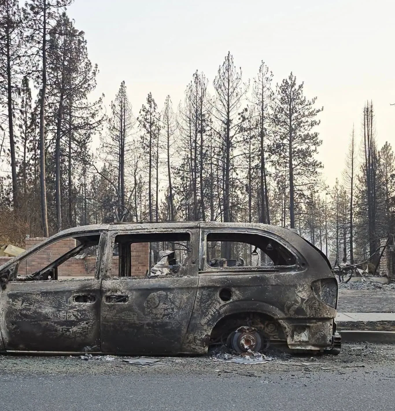
Minivan at the curb
Burned down to the rims where it was parked. The brick garden wall behind it came through.
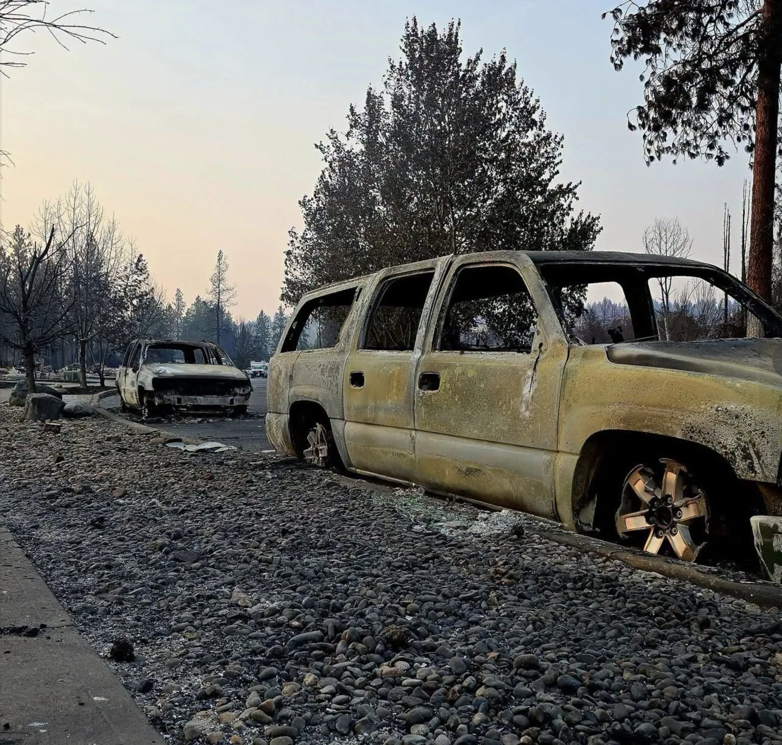
Two vehicles, same street
Both burned where they were parked. The aluminium wheels melted and the glass is on the ground.
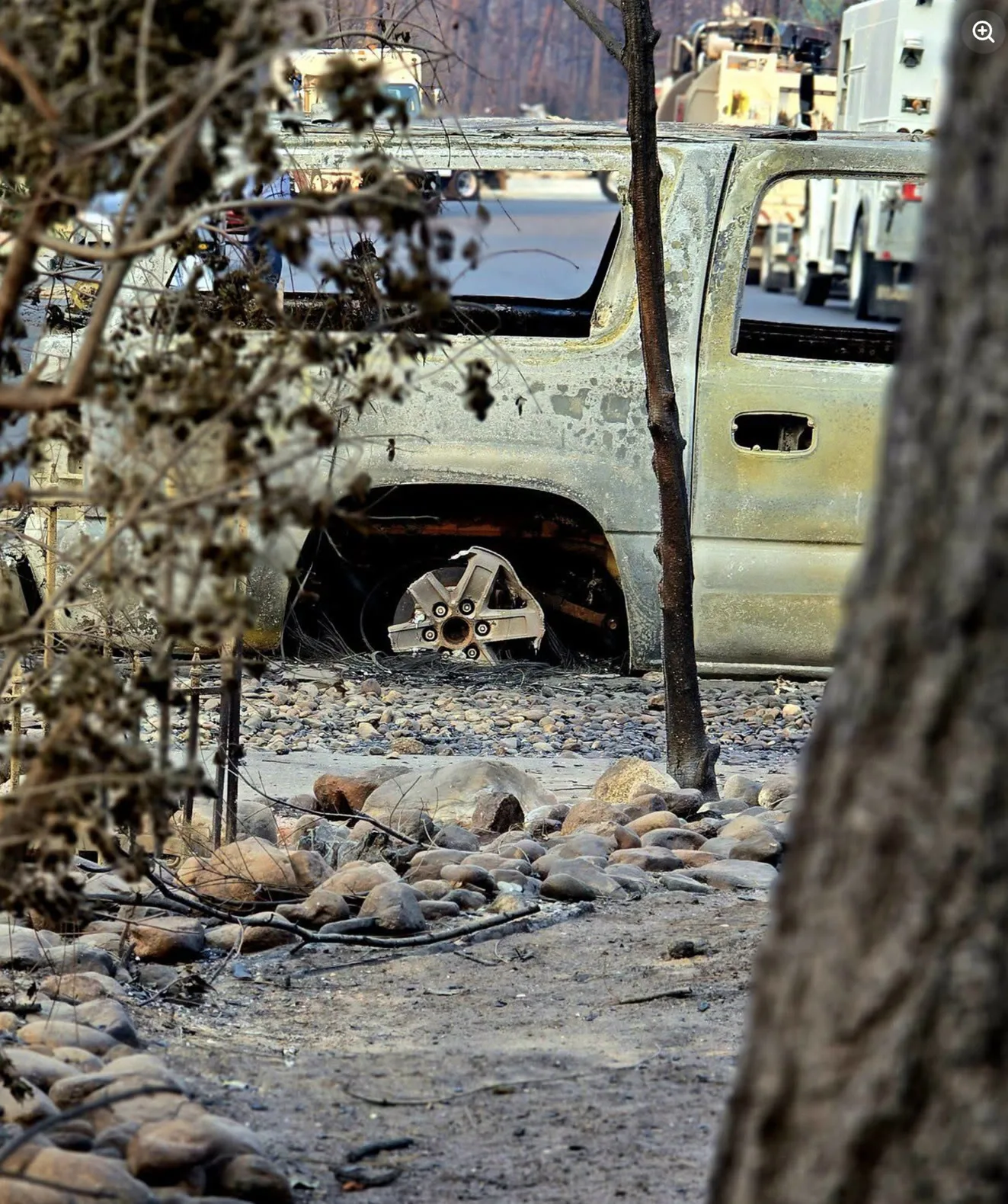
Pickup behind river rock
A burned truck in a landscaped yard, seen through scorched brush. Utility crews are working the road behind.
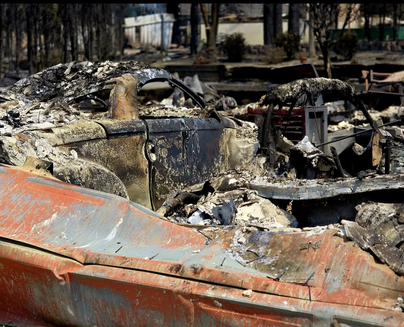
Truck bed and burned car
The bed of a pickup in the foreground, the shell of a car and a collapsed house behind it.
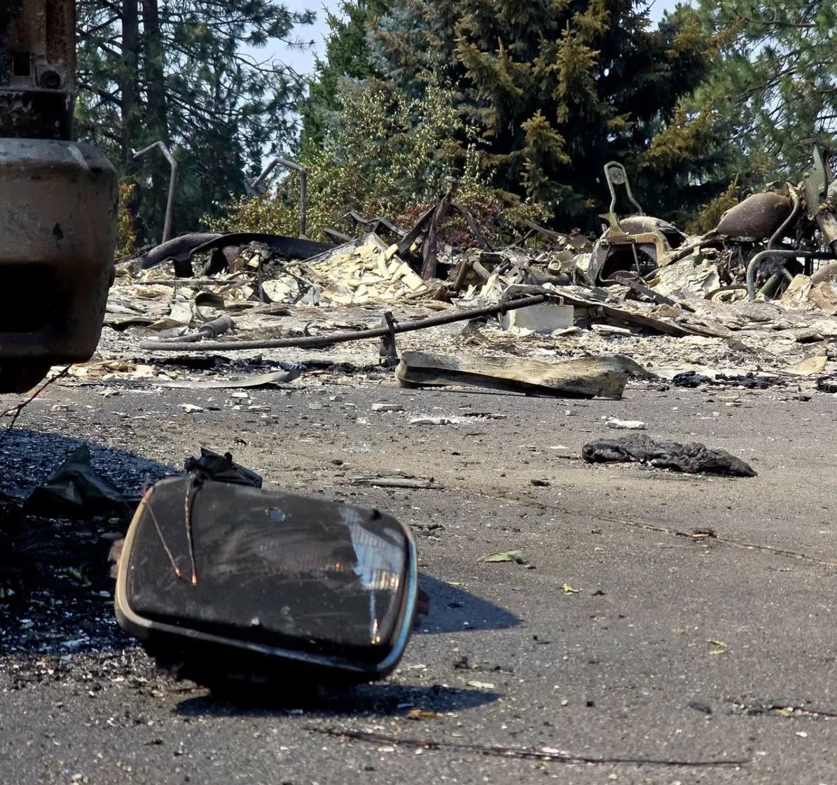
Headlight in the road
A headlight assembly lying in the street, thrown clear of the house behind it.
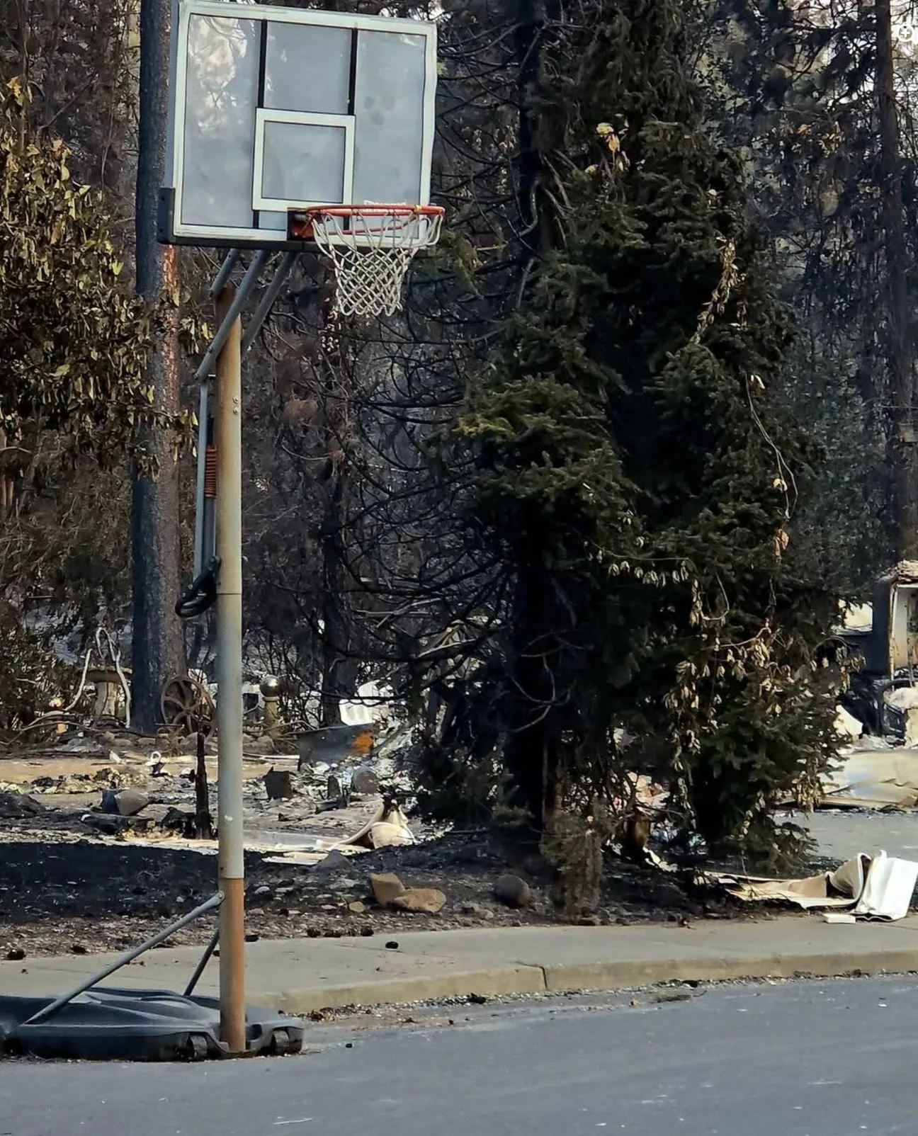
Basketball hoop
A portable hoop at the curb, undamaged. The house it stood in front of is the debris field behind it.
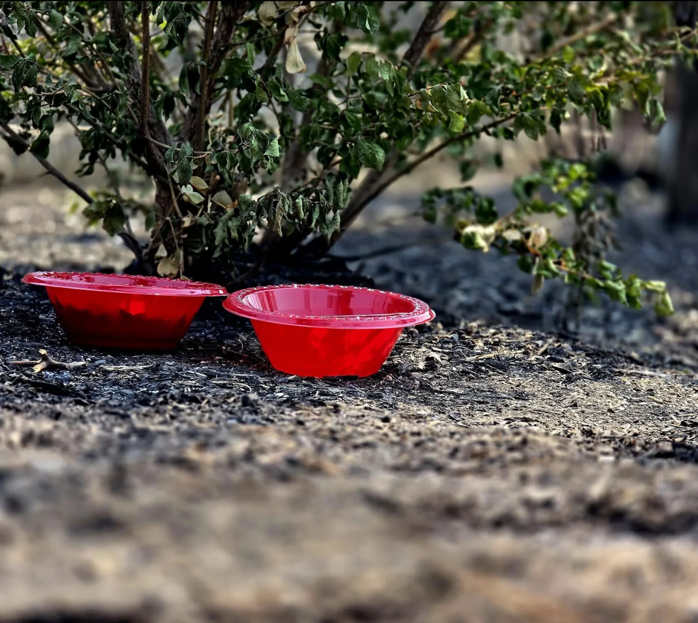
Two bowls under a shrub
Pet bowls left out beside a shrub that came through green. The ground around them burned.
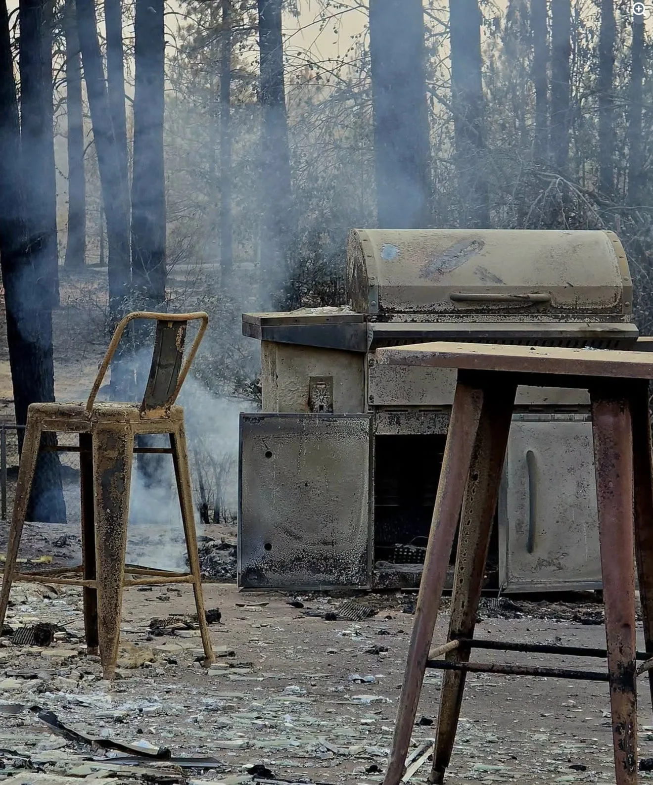
Outdoor kitchen, still smoking
Bar stools and a built-in grill left standing. Smoke was still drifting through the trees behind them.
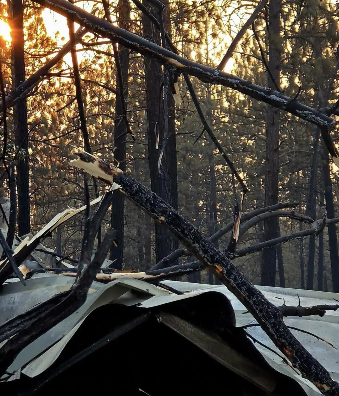
Branches on a fallen roof
Burned limbs dropped across sheet metal that used to be a roof, lit by the sun coming through the trees.
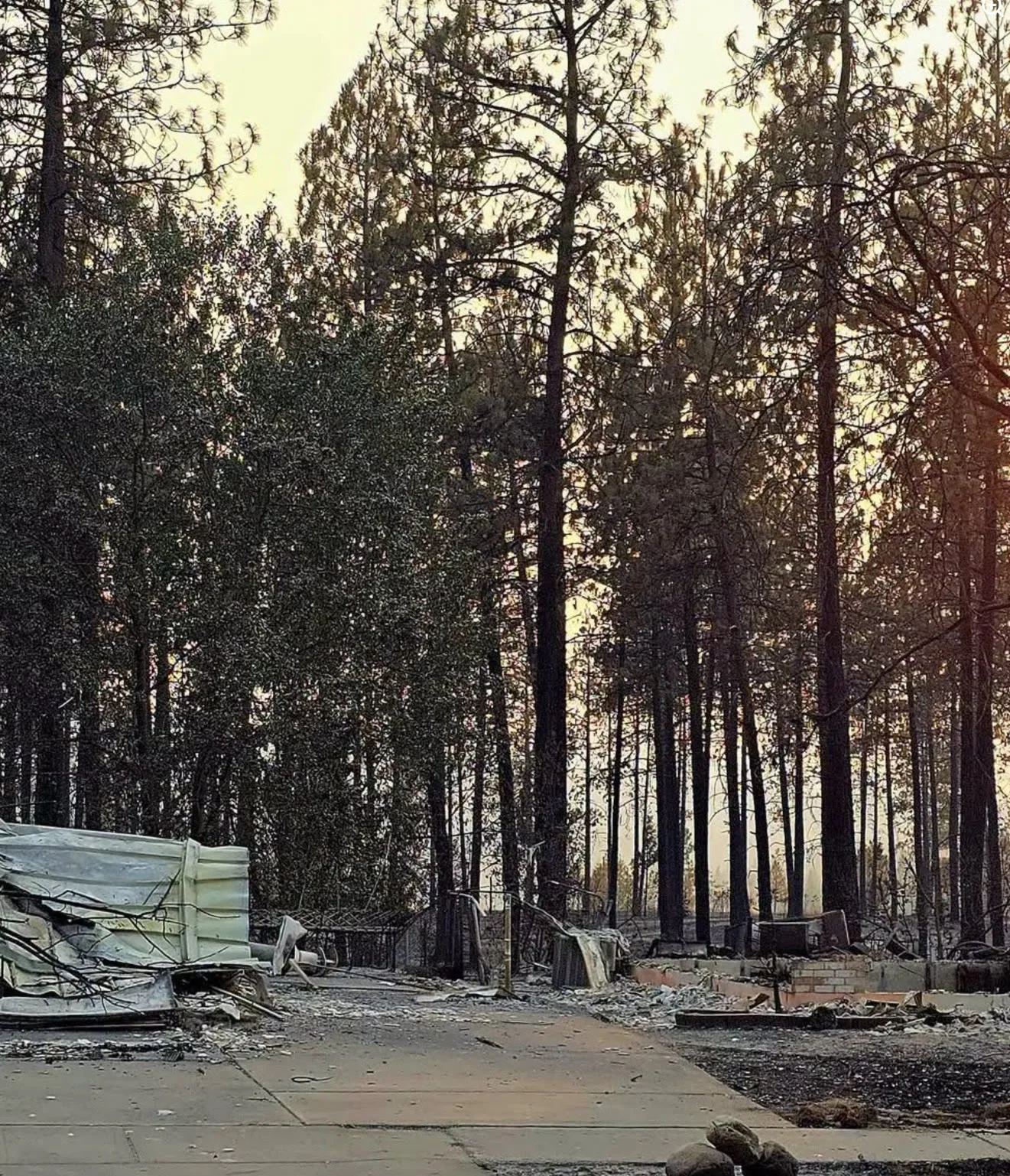
Driveway at dusk
A clean driveway running between two burned lots, with scorched pines standing over both.
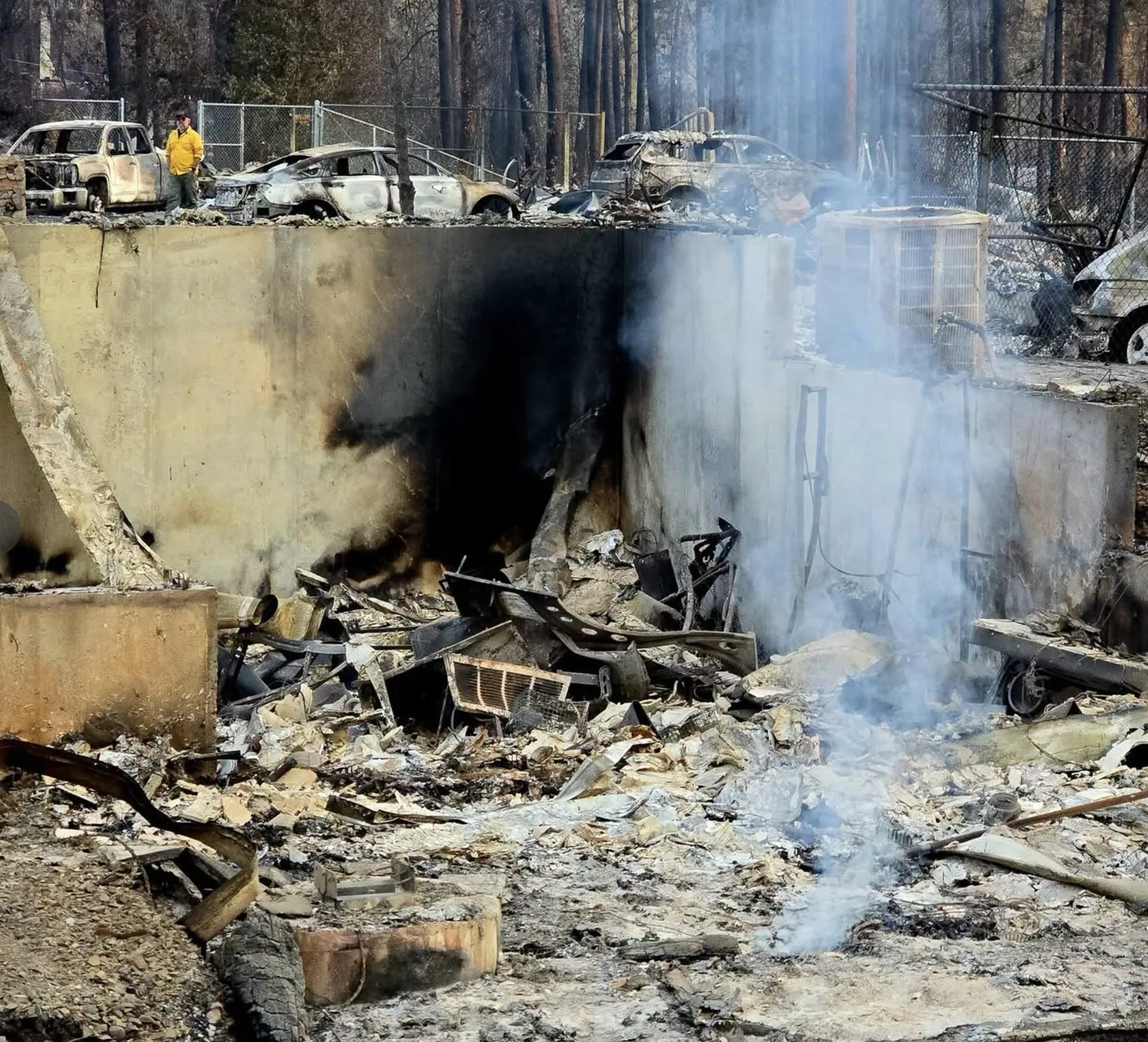
Foundation still smoking
A crew member walking a line of burned vehicles above a foundation that was still putting up smoke.
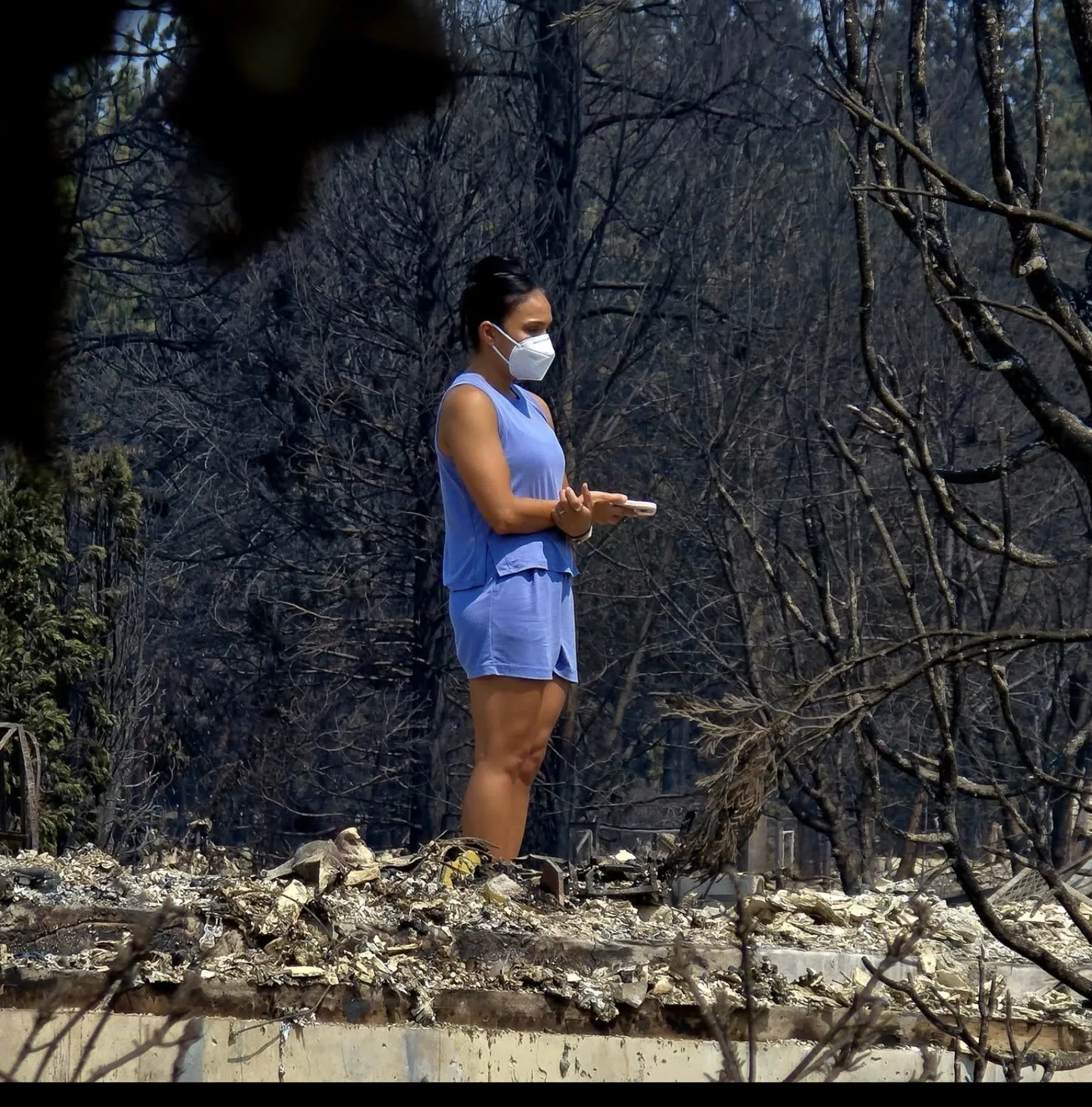
A resident comes back
Standing on the foundation of a house, masked against the ash, looking at what is left of it.
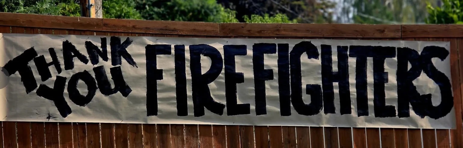
Thank you, firefighters
A hand-painted banner on a back fence, in a neighbourhood the fire stopped short of.

Spokane Strong
A community graphic circulating in support of the recovery. This one is a design, not a photograph.